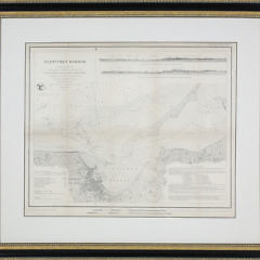
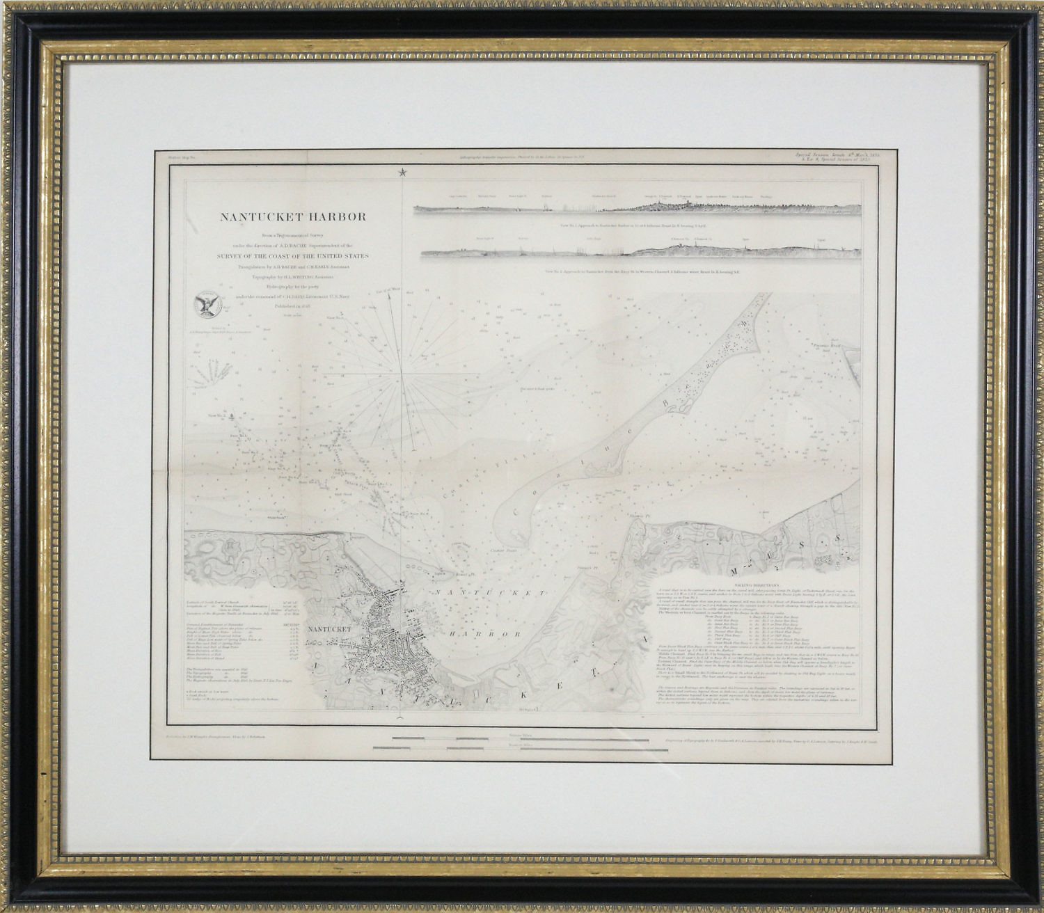
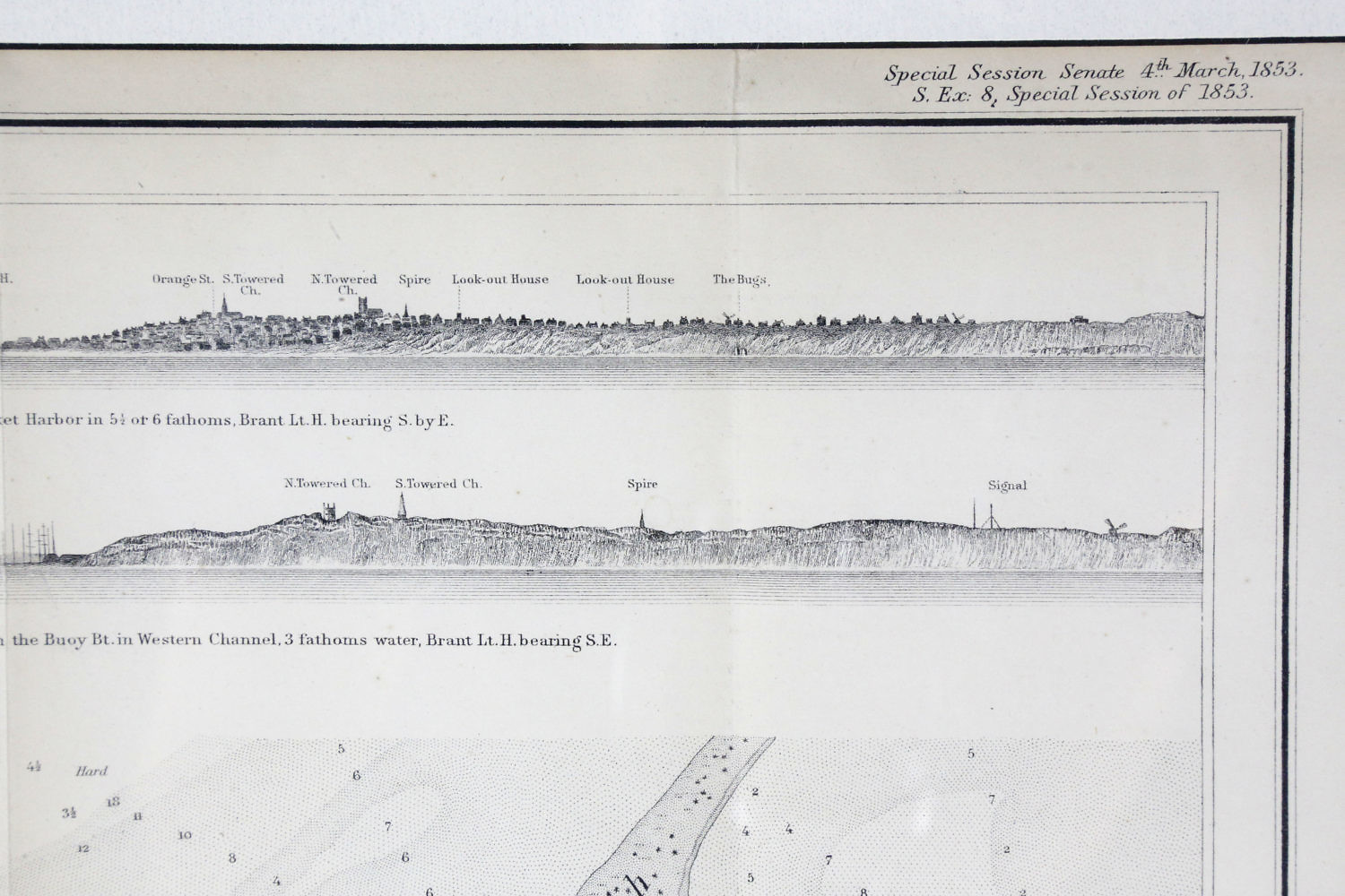
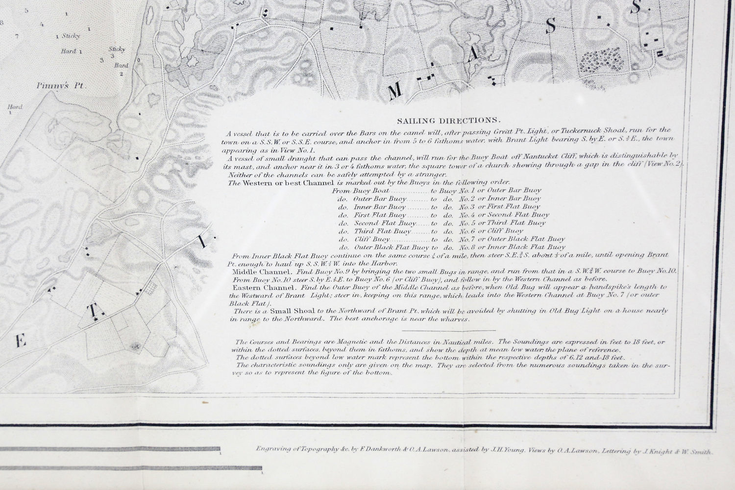
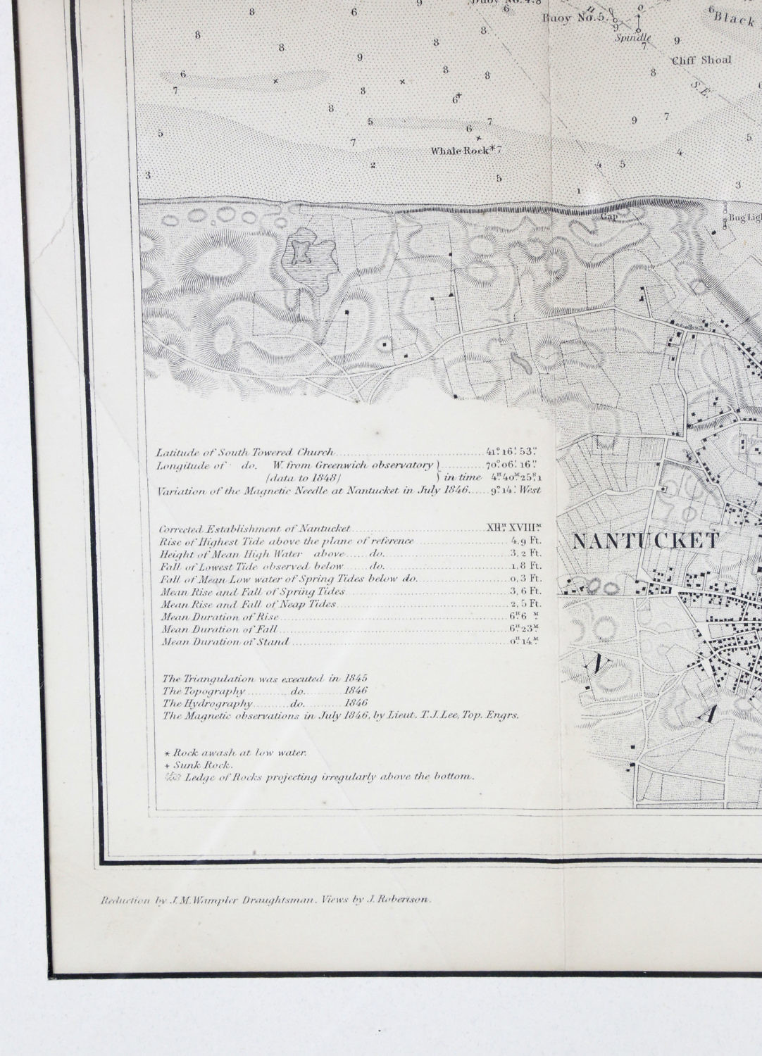
1853 Map of Nantucket Harbor Survey of the Coast of the United States, “From a Trigonometrical Survey under the direction of A.D. Bache Superintedent of the Survey of the Coast of the United states. Triangulation by A.D. Bache and C.M. Eakin Assistant Topography by H.L. Whiting Assisitand Hydrography by the party under the command of C.H. Davis Lieutenant U.S. Navy Published 1848″, in molded gilt and ebonized frame.
15 in. x 18 in. Overall 23 in. x 26 in.
Please note that this auction has ended.
Click here for an overview of this auction.