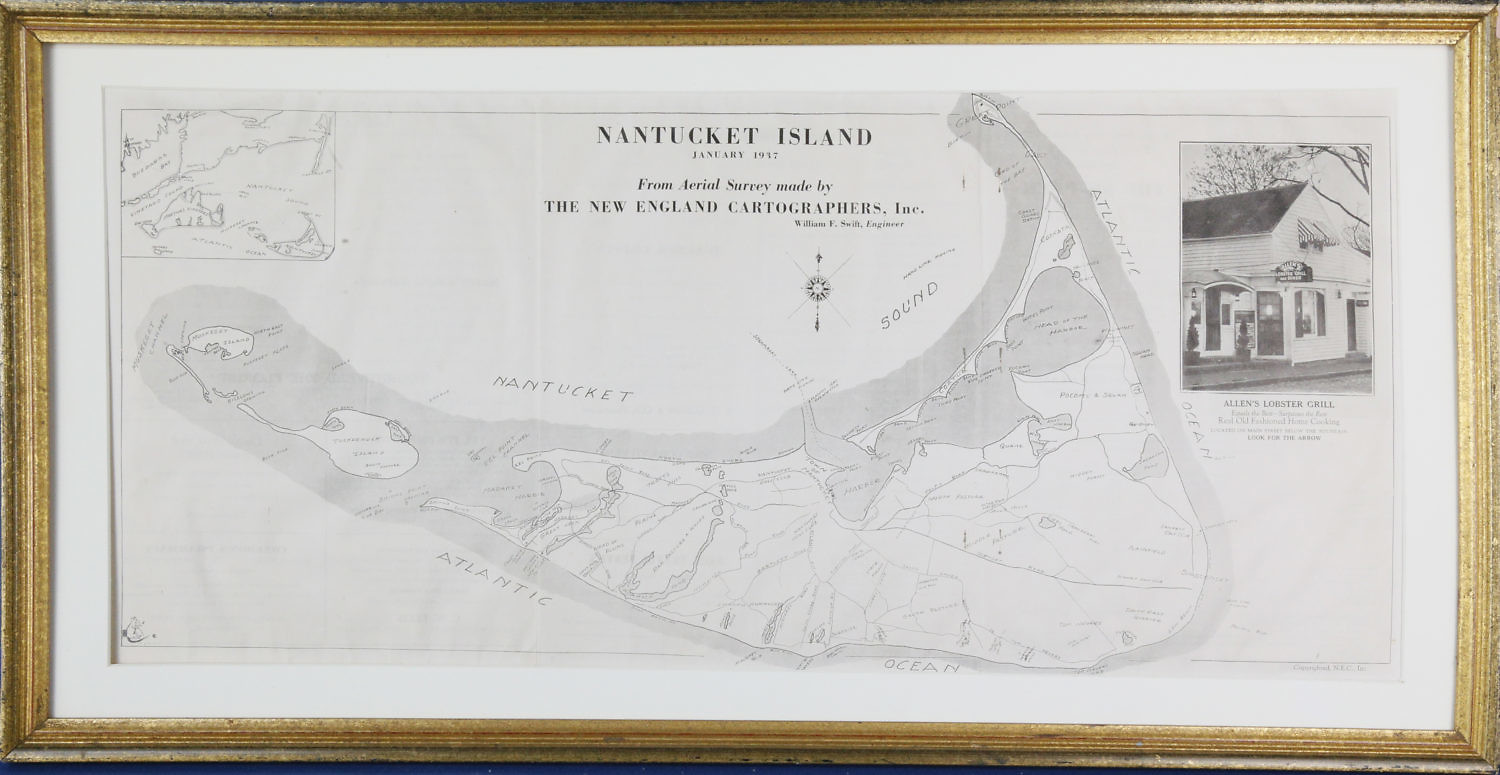
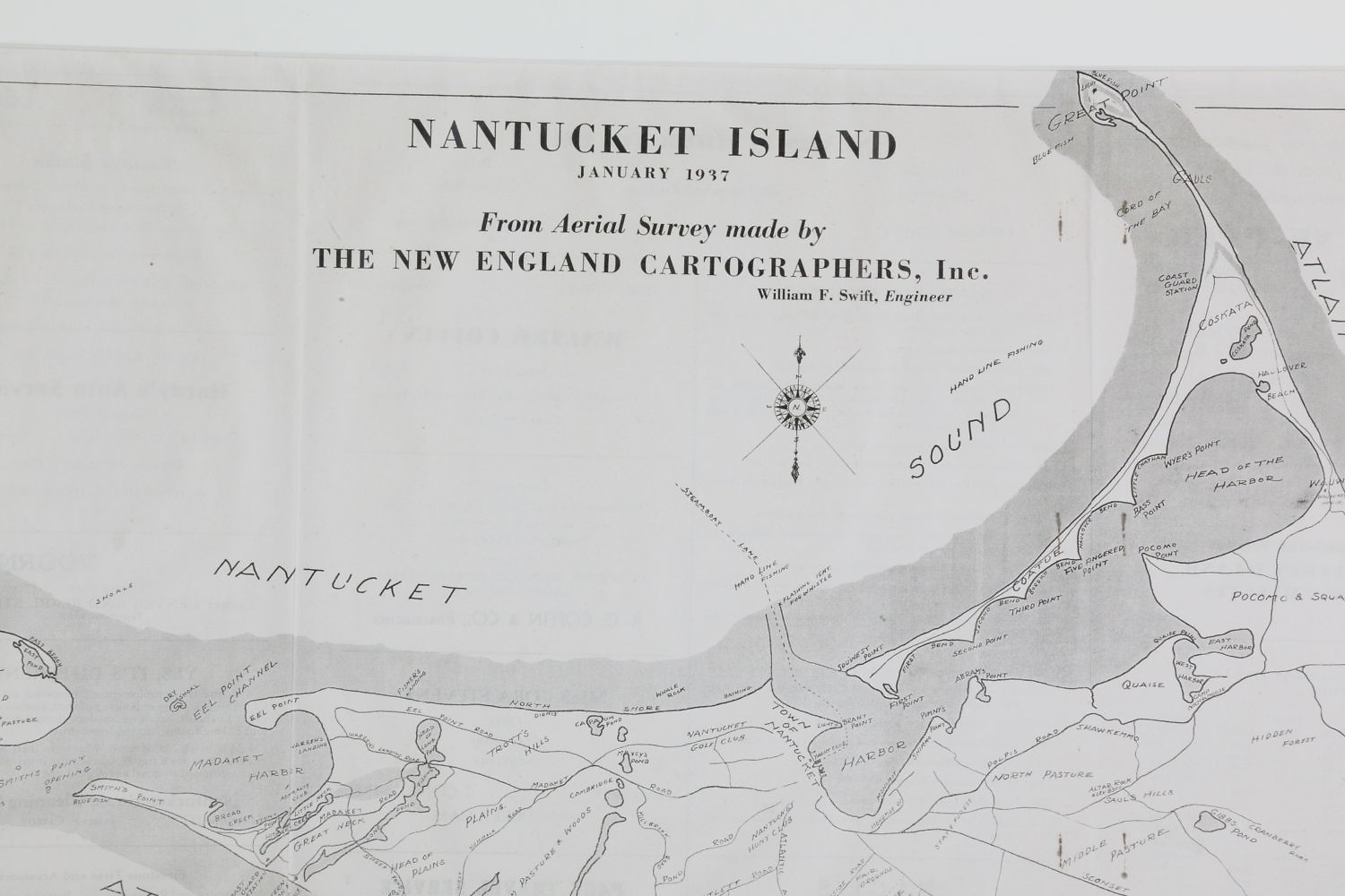
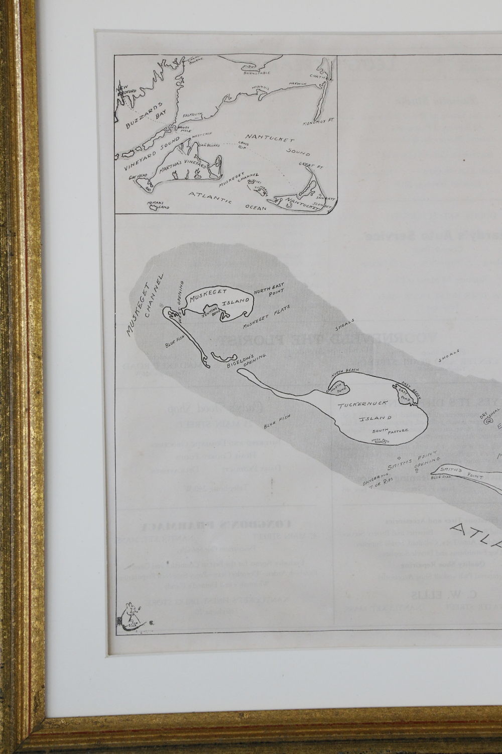
Scarce 1937 Map of Nantucket Island Consign Now DeptCollections, Nantucket ArtSize11.75 in. x 26.5 in. Overall 15.5 in. x 30.5 in. Scarce 1937 Map of Nantucket Island, from aerial survey made by, “The New England Cartographers, Inc.”, with inset phot at Allen’s Lobster Grill” 11.75 in. x 26.5 in. Overall 15.5 in. x 30.5 in. Please note that this auction has ended. Click here for an overview of this auction.