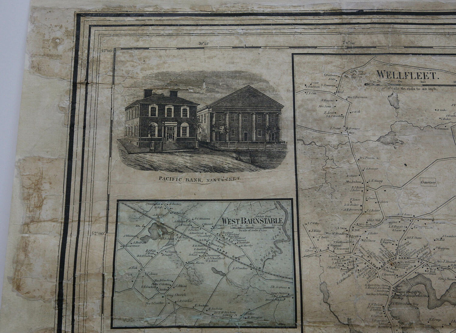
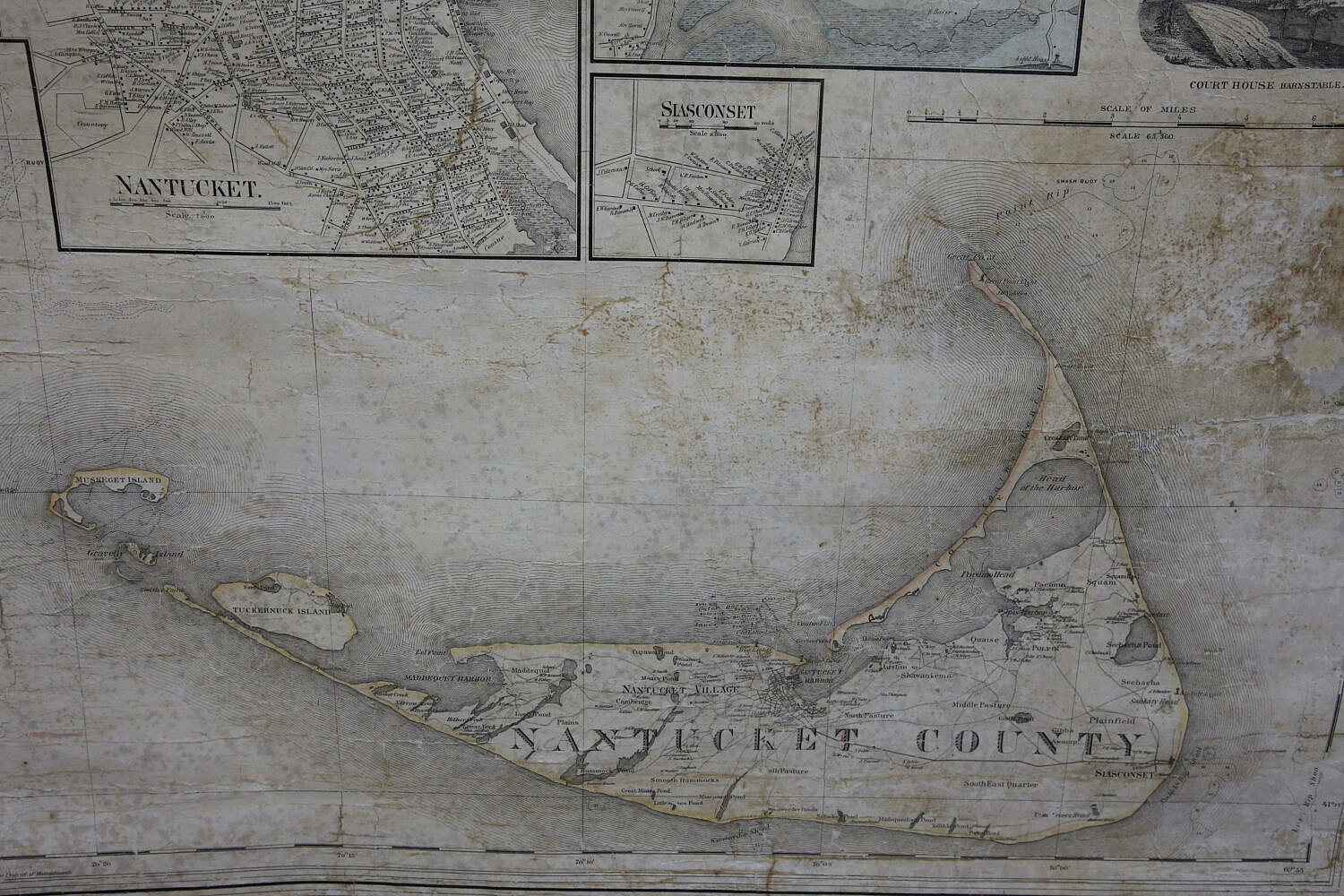
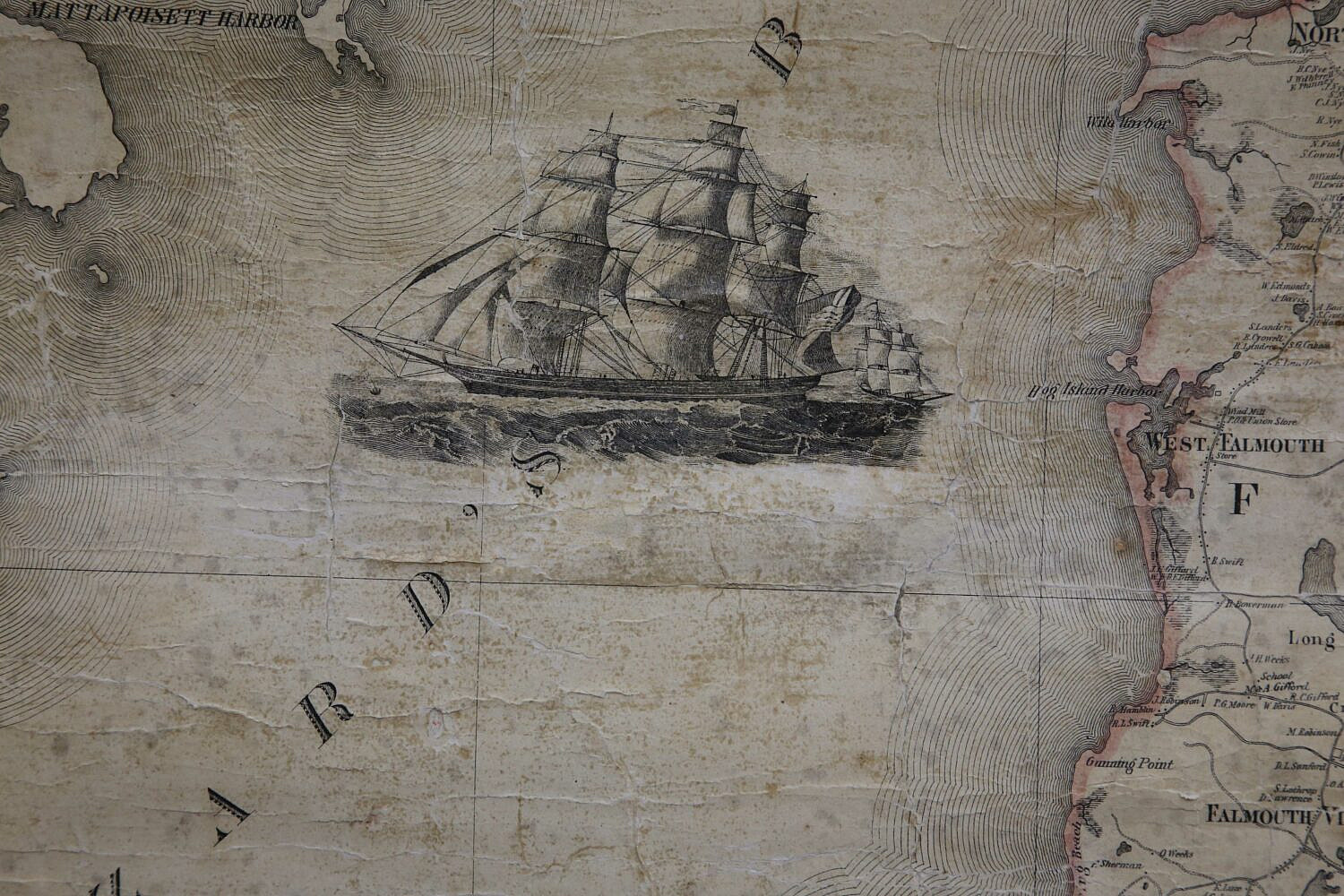
Henry F. Walling Engraved, Printed, Colored and Mounted 1858 Map of the Counties of Barnstable, Dukes, and Nantucket, including eight vignettes: Pacific Bank of Nantucket, Barnstable Bank Yarmouth Port, Provincetown 1858, Harbor of Provincetown 1620, Court House Barnstable, View in Main Street Barnstable, and two ship portraits; with detailed Nantucket town map and business directory, table of distances and statistics. Published by D.R. Smith and Co., 106 Washington Street, Boston and 90 Fulton Street New York. Map laid down to canvas
60 in. x 56.75 in.
Please note that this auction has ended.
Click here for an overview of this auction.