Please note that this auction has ended.
Click here for an overview of this auction.
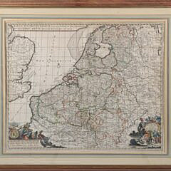
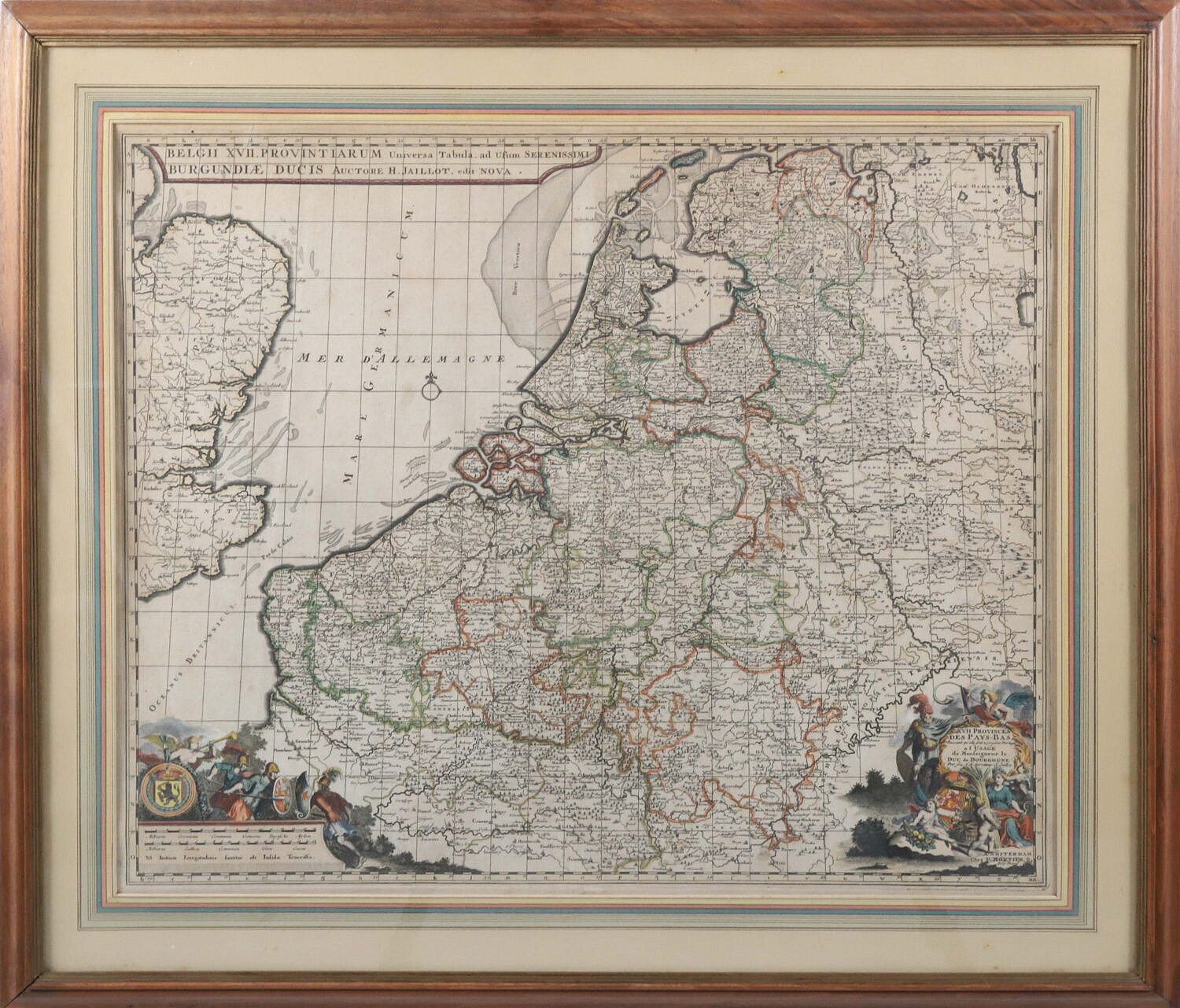
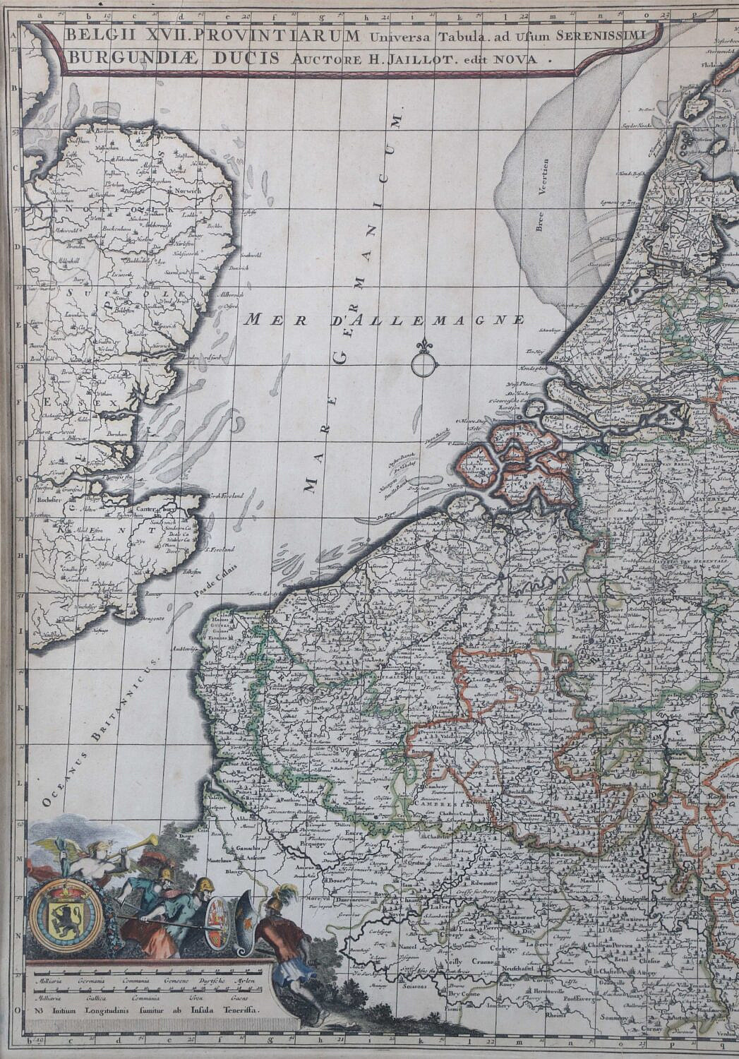
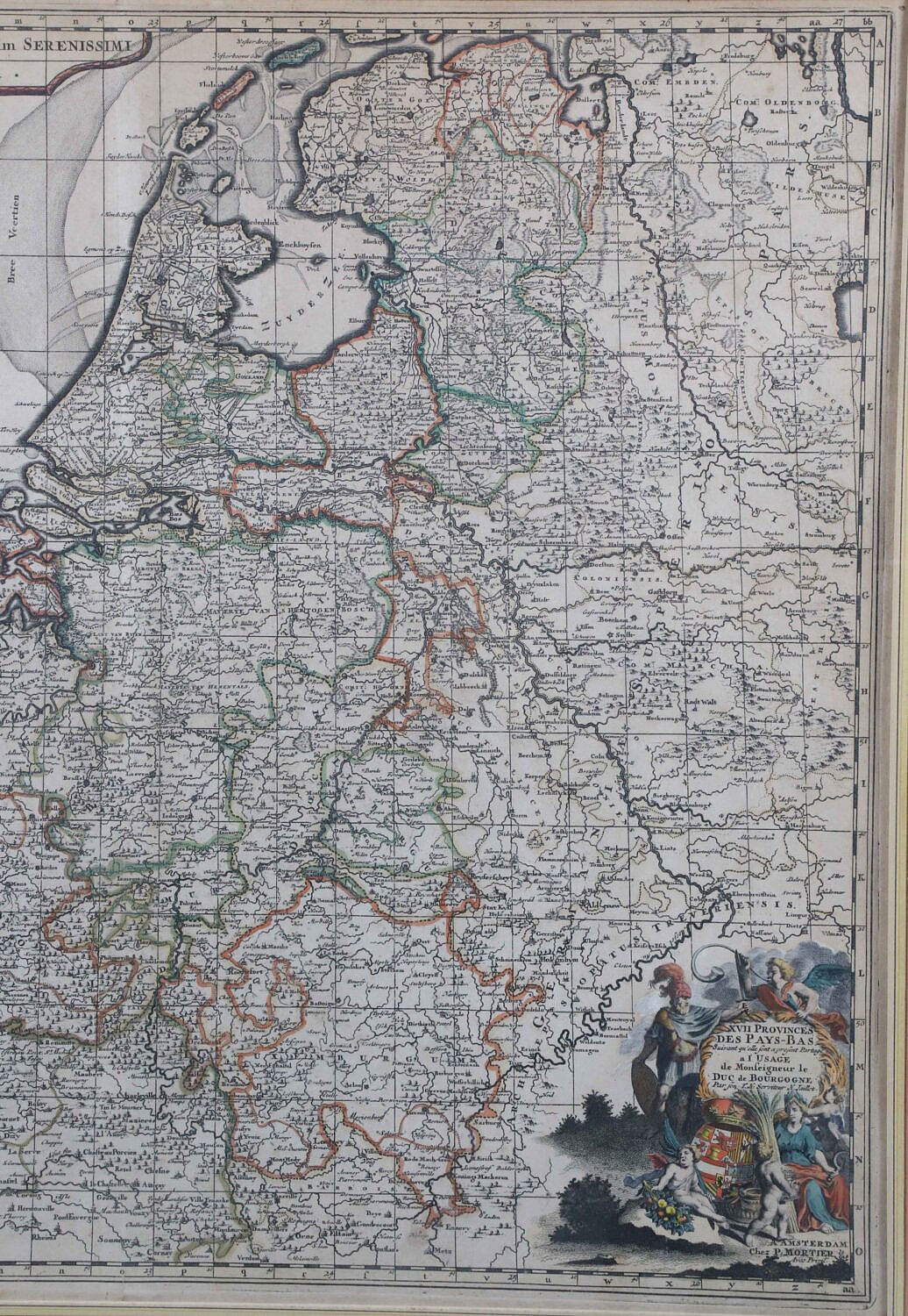
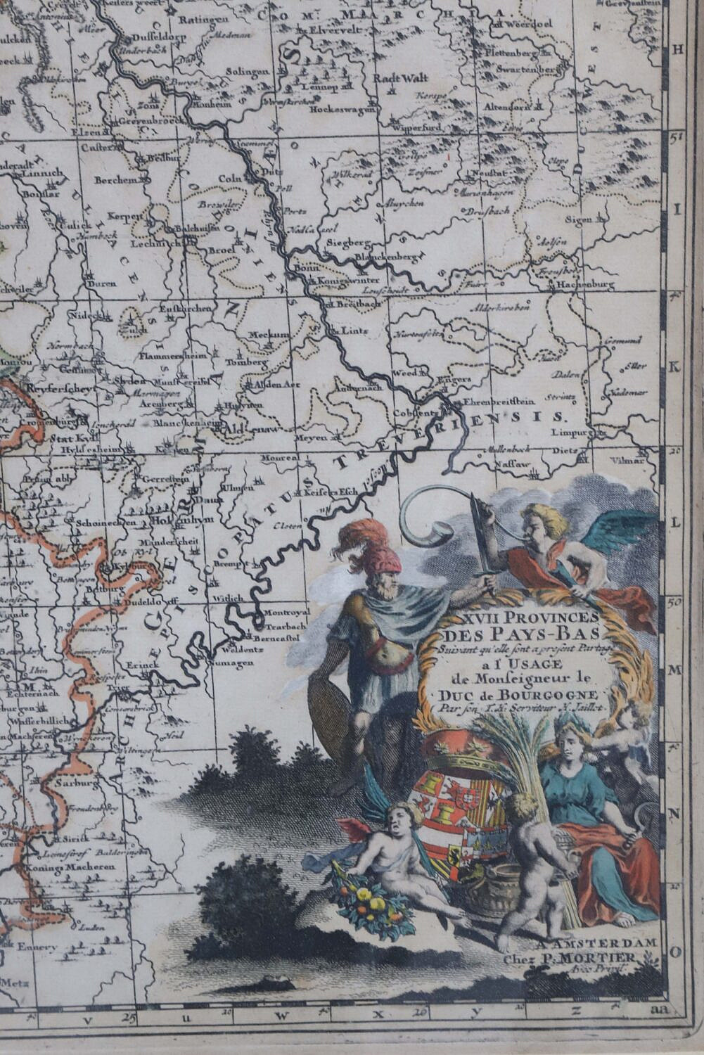
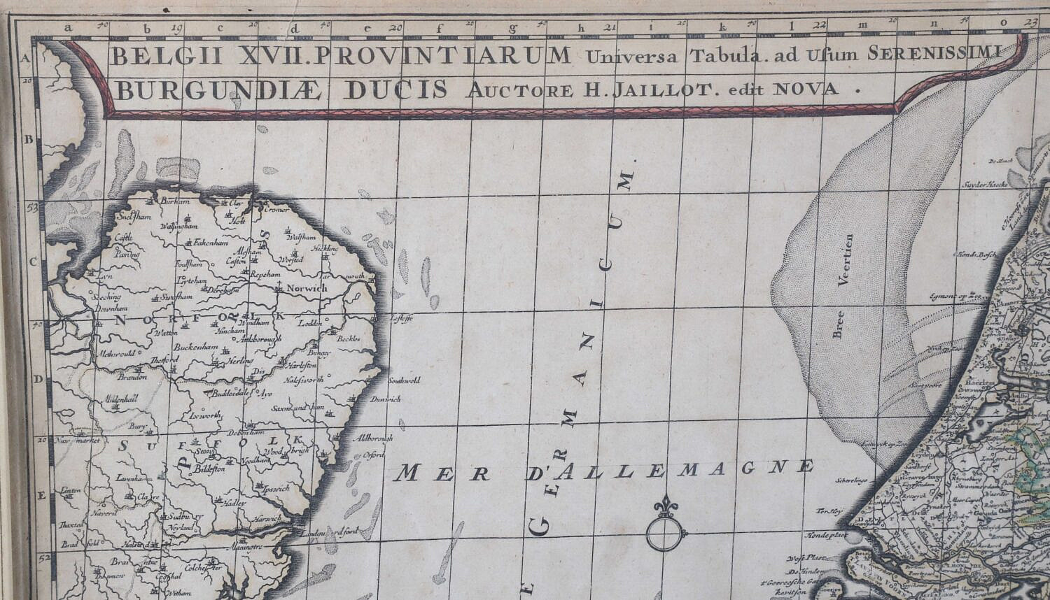
Historical Map of Amsterdam Created by Cartographer Alexis Hubert Jaillot
Please note that this auction has ended.
Click here for an overview of this auction.