Please note that this auction has ended.
Click here for an overview of this auction.
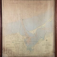
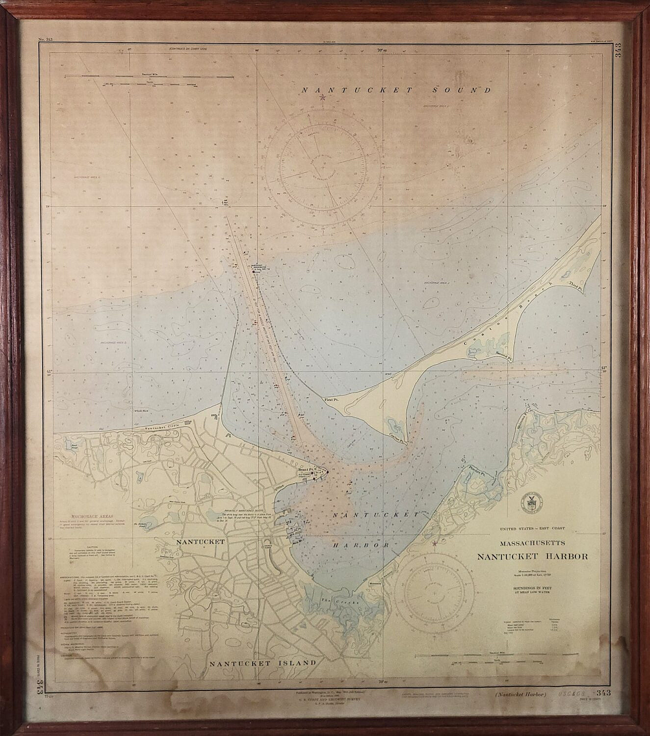
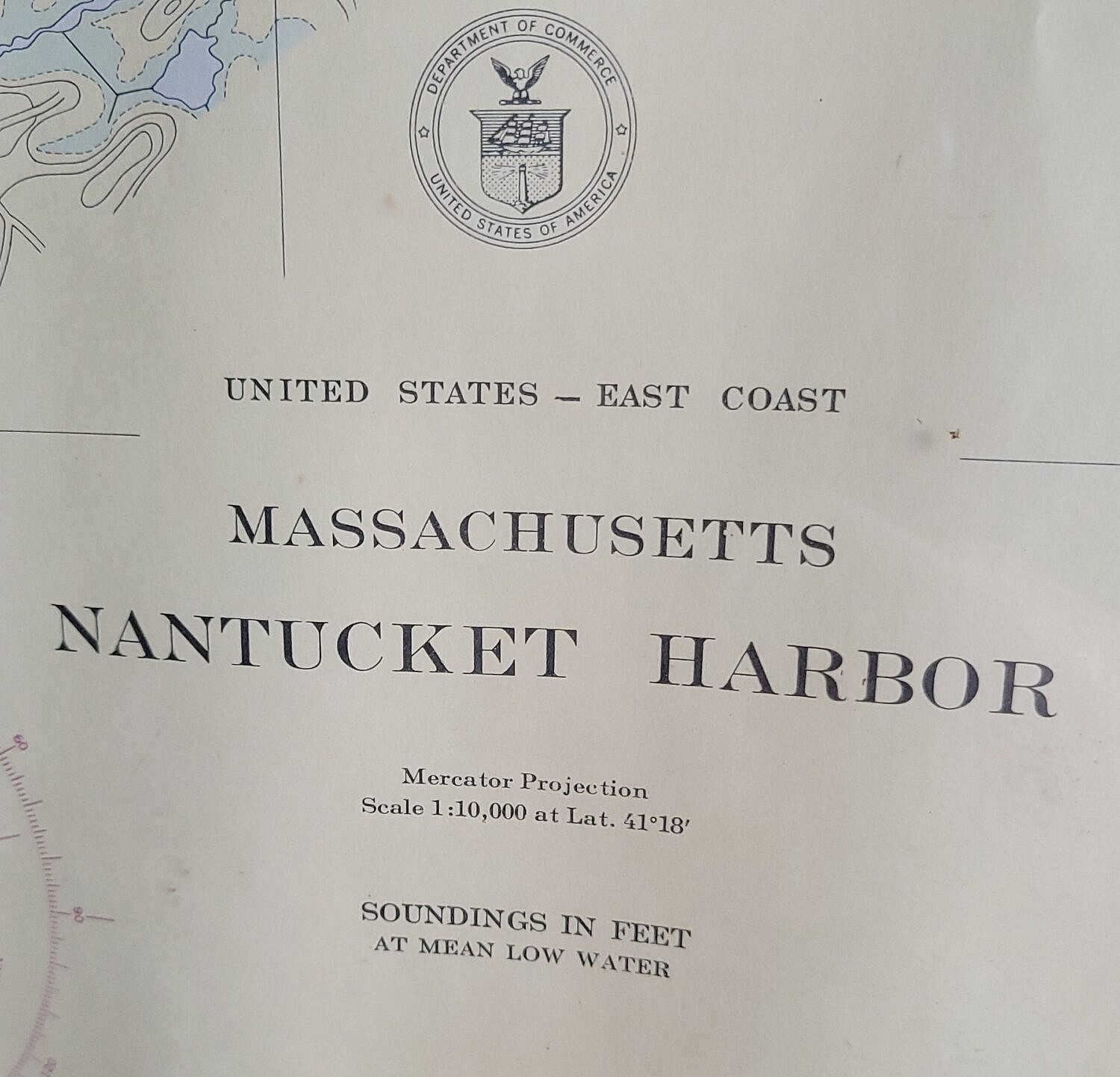
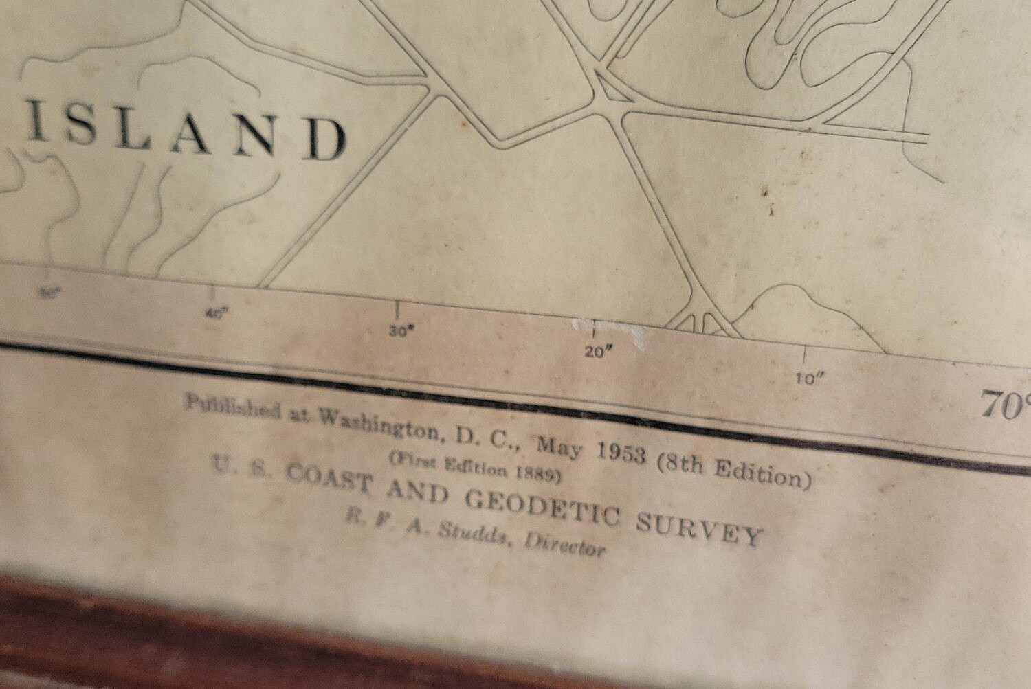
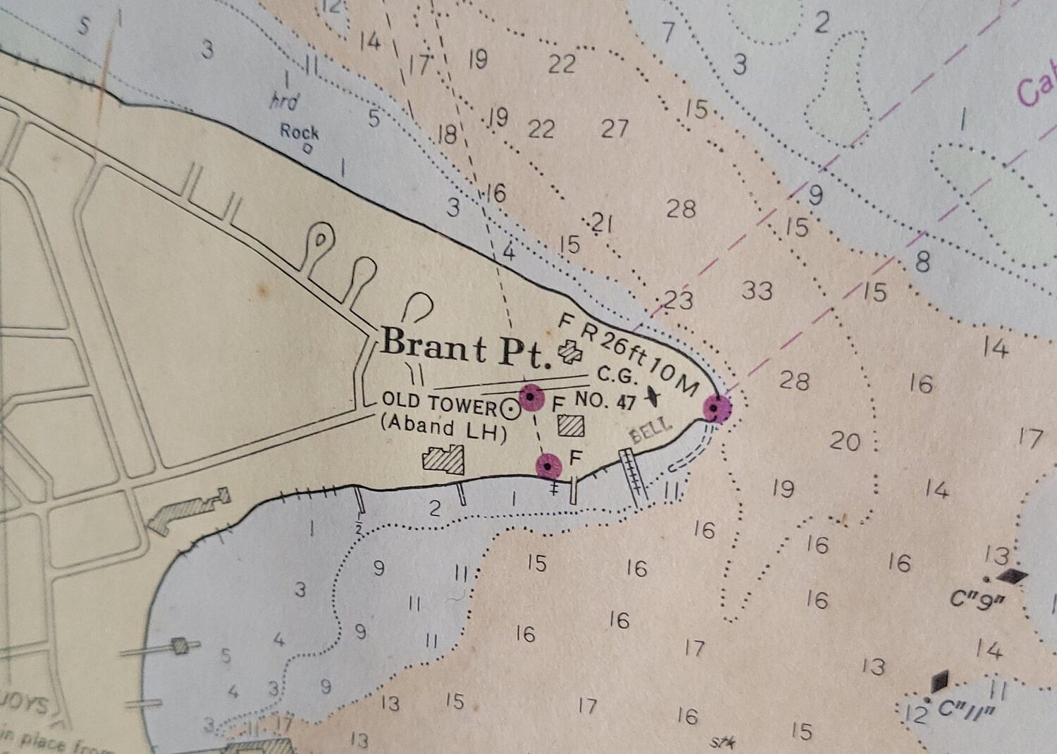
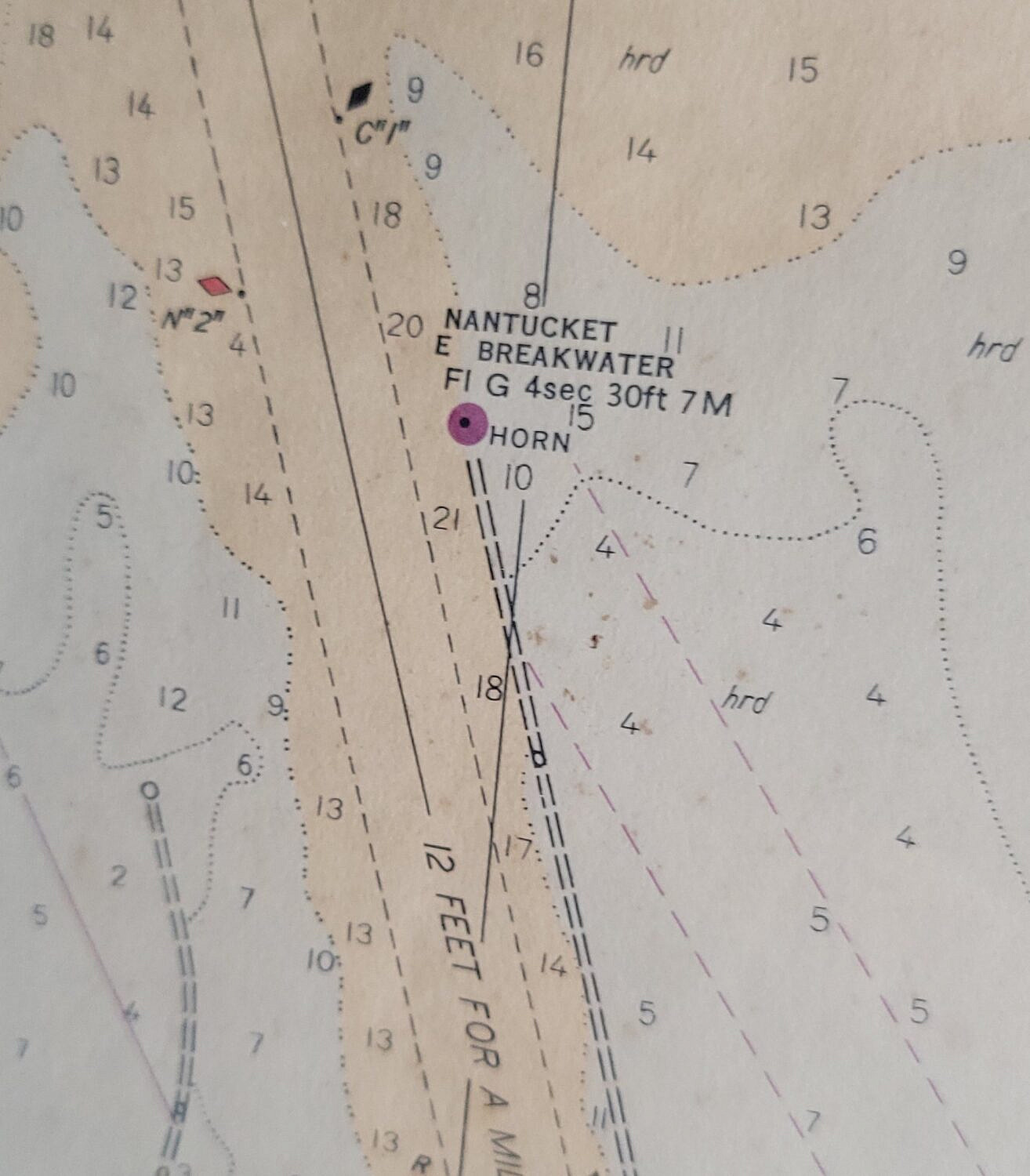
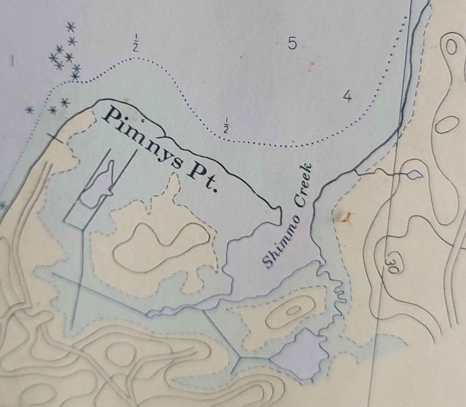
Framed Vintage 1953 Nantucket Harbor Nautical Navigational Chart Map
Please note that this auction has ended.
Click here for an overview of this auction.