Please note that this auction has ended.
Click here for an overview of this auction.
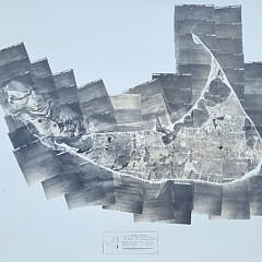
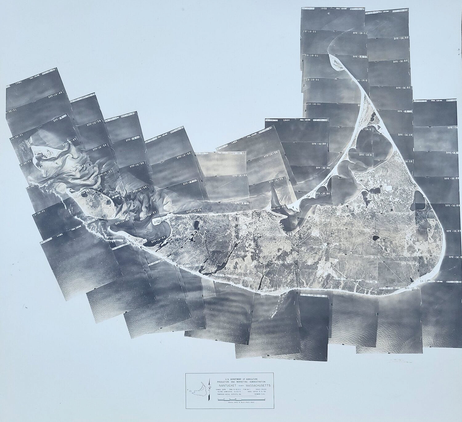
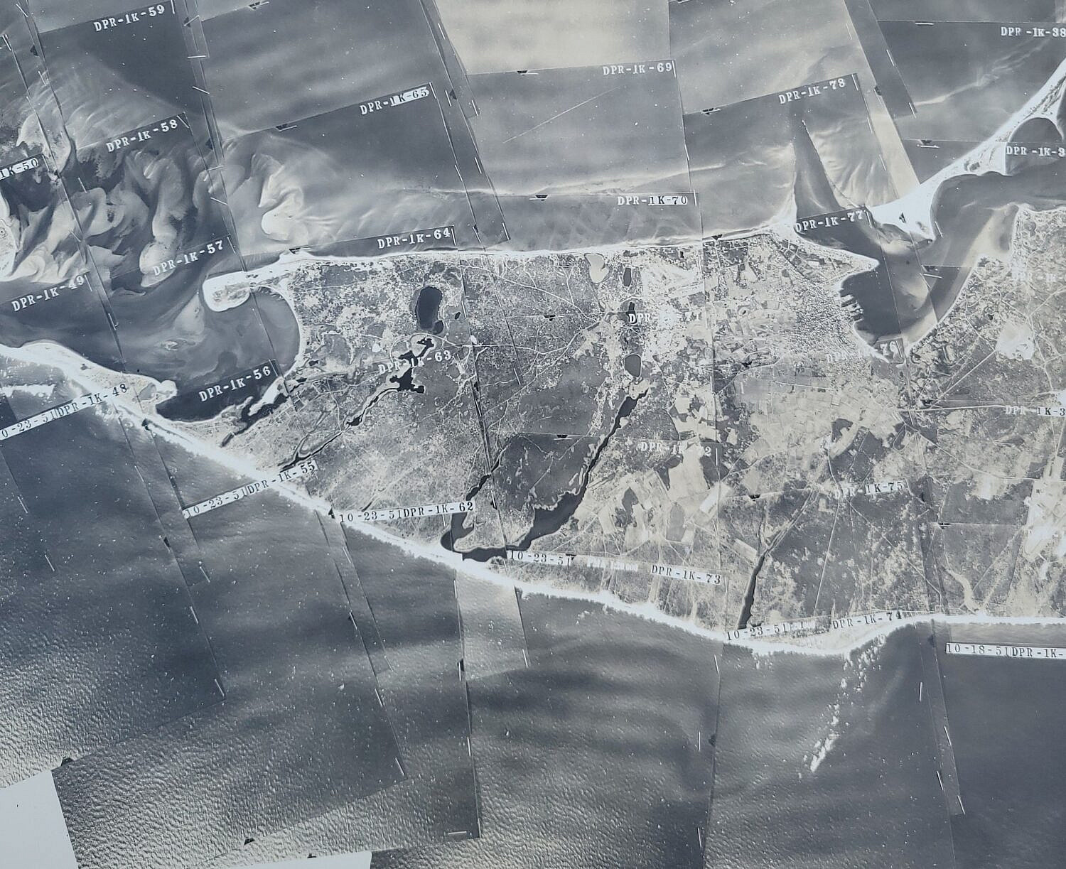
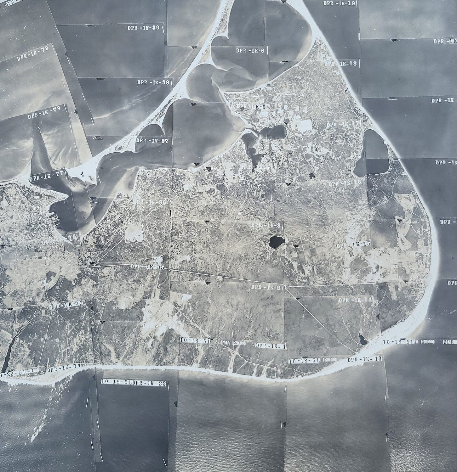
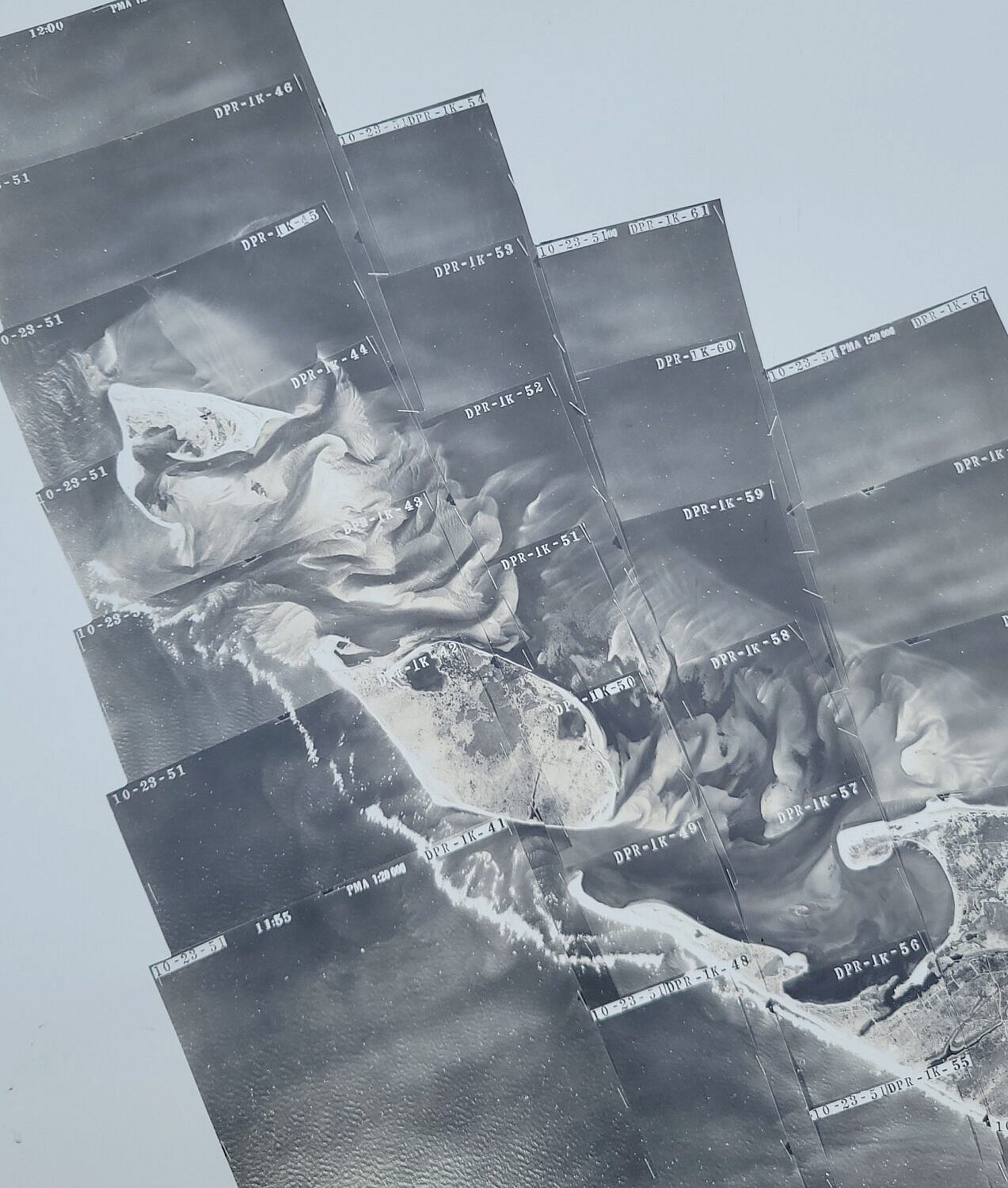
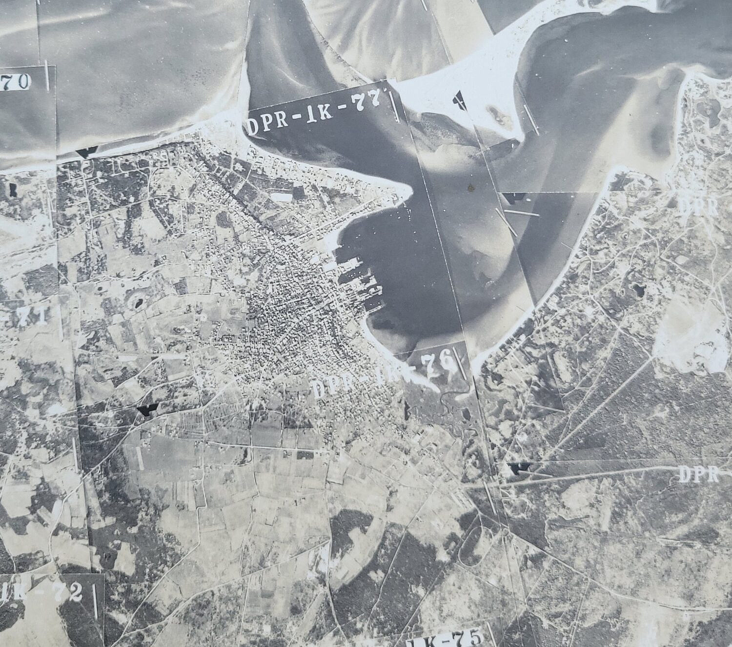
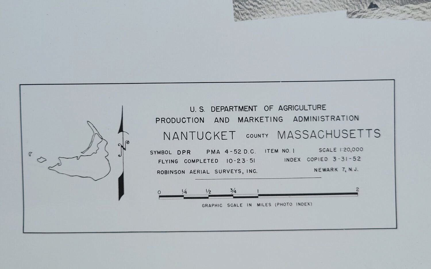
Vintage Mid Century Nantucket Island Aerial Photograph Collage Map
Please note that this auction has ended.
Click here for an overview of this auction.