Please note that this auction has ended.
Click here for an overview of this auction.
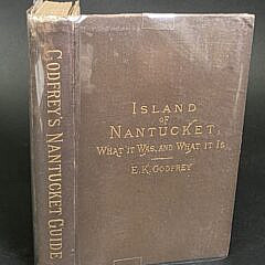
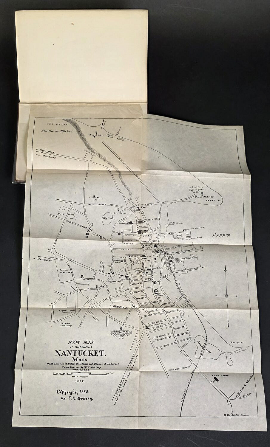
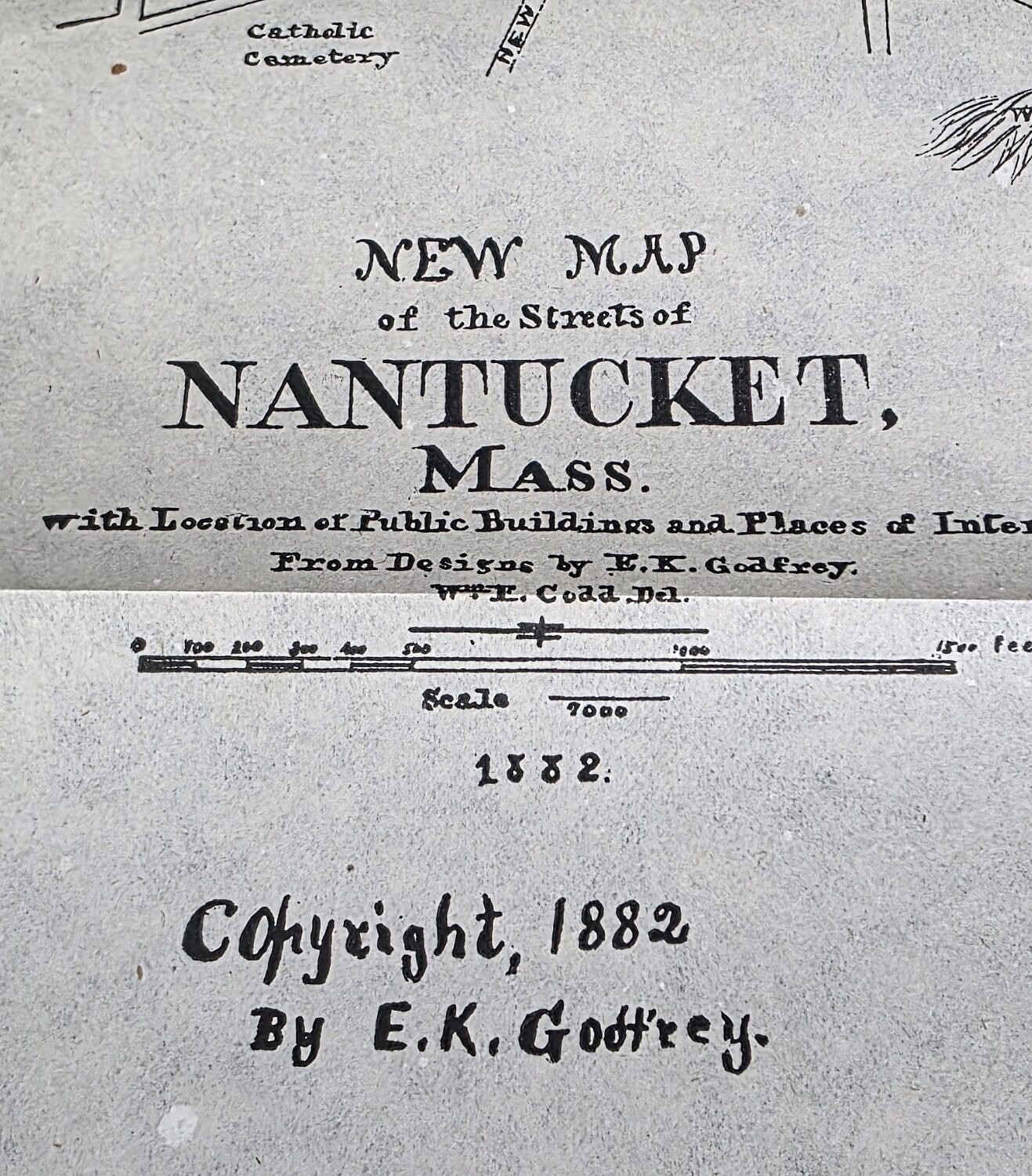
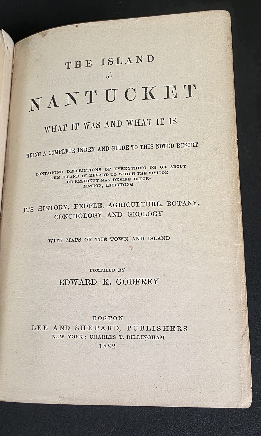
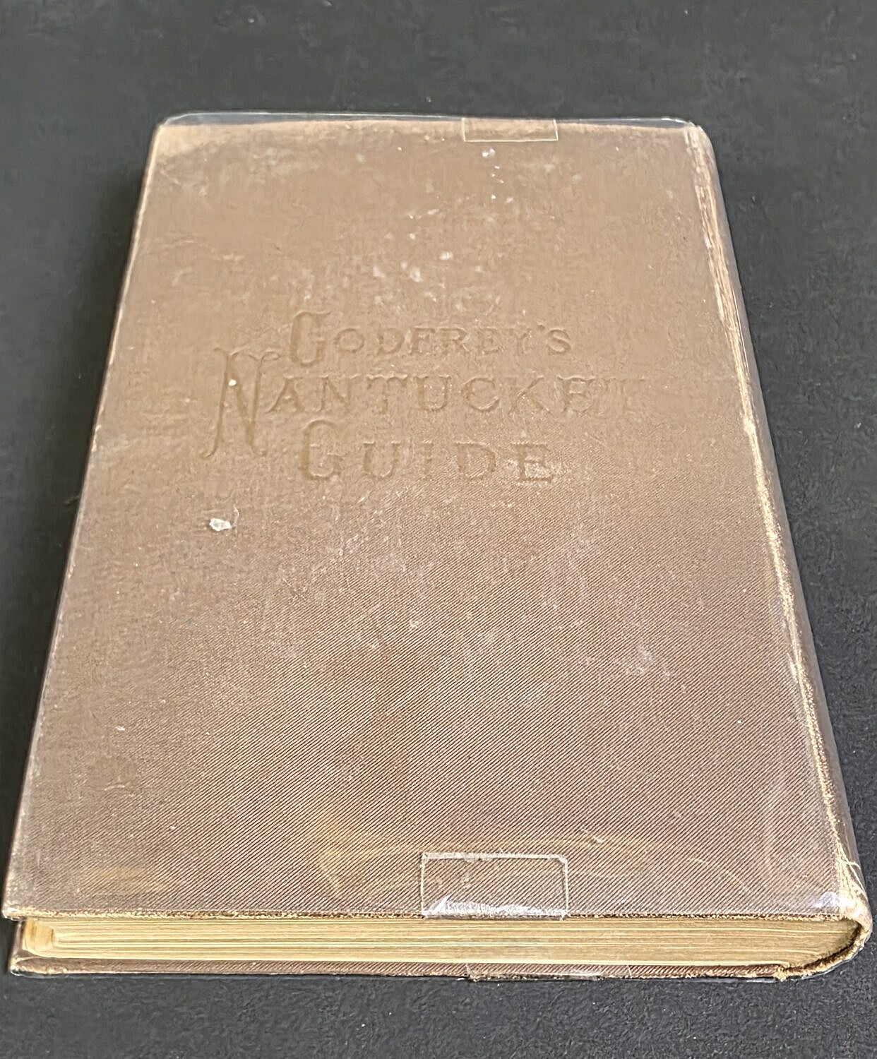
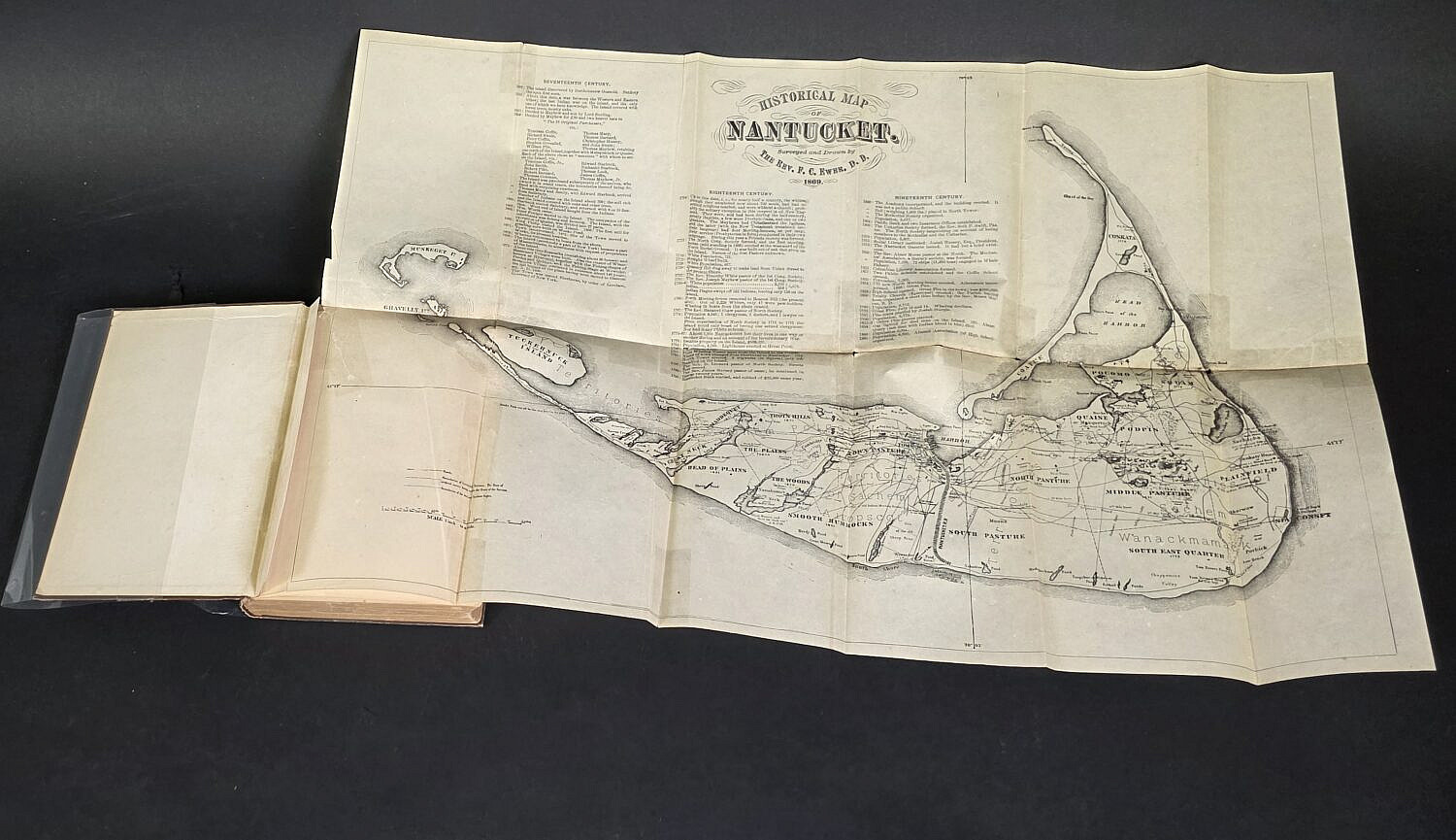
E.K. Godfrey Antique Nantucket Book, “Island of Nantucket, What it Was, and What It Is”
Please note that this auction has ended.
Click here for an overview of this auction.